This post is older than 6 months.
By jobruce
February 1, 2021
Image

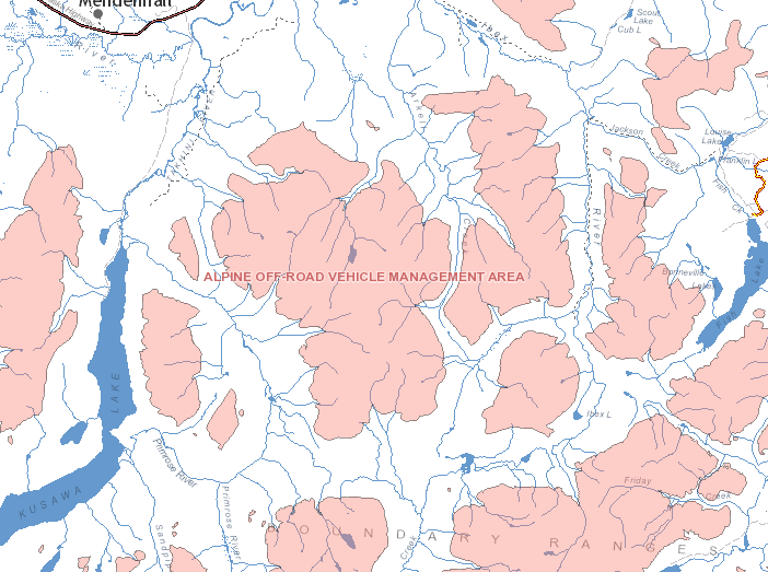
The Lands Branch has released 2 new digital mapping layers.
ORV Management Areas – 250k
Off Road Vehicle (ORV) Management Areas are designated areas where off-road vehicle use is managed for the protection of ecological balance or physical characteristics within the area. This includes mineral claims and territorial parks.
ORV Trail Plans – 50k
Off Road Vehicle (ORV) Trail Plans show the trails where you can use an off-road vehicle. The trails are listed individually or by zone within:
- the off-road vehicle management area; or
- the part of the off-road vehicle management area that has a trail plan.
These layers are available in GeoYukon and on the FTP site.
If you have any questions about these datasets email geomatics.help@yukon.ca.
Comments
By submitting your comment, you understand it will be published on a public website if it meets our commenting policy. Read our privacy statement to see how the government handles your information.
Be the first to commentAdd new comment Close