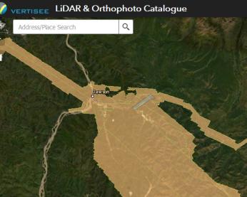
We've released a new training video called Introduction to the Yukon LiDAR collection.
The following changes have been completed on the Transportation map service.
We've released a new training video called GeoYukon: the basics. It covers a variety of topics about the GeoYukon online web mapping application, including:
We have released a new online app called Find a Yukon street address. The application allows you to search for a street address or legal description.
We're offering training via Zoom from 2 p.m. to 2:45 p.m. on Thursday, April 1, 2021, for the Yukon LiDAR collection application.
The Forest Management Branch has released 2 new digital mapping layers.
The Southern Lakes Regional Imagery Project was a collaboration from 2017 to 2019 between:
This weekend (February 26 to 28) is the annual Government of Yukon server maintenance weekend. All servers will be updated and restarted.
We're offering training via Zoom from 12 p.m. to 1 p.m. on Thursday, February 25, 2021, for GeoYukon.
The 1-hour seminar will cover how to view and download aerial photography from the GeoYukon website.
We're offering online training through Zoom from 12 p.m. to 1 p.m. on Wednesday, February 24, 2021, for GeoYukon.
The 1-hour seminar will cover how to view and download aerial photography from the GeoYukon website.


